The City of San Diego’s draft EIR (Environmental Impact Report) for their wetland restoration plan for northeast Mission Bay, called De Anza Natural, has at last been made public.
It’s a big document, so we’re bringing aboard additional help with Environmental Science Associates to assist us in going over the details. So far, we’re concerned about the lack of hard science and projections we’re seeing for sea level rise modeling. Honestly, we really expected to see more.
This is one of several concerns we raised earlier at ReWild about what we expect to see from the city’s draft EIR. More than anything, we need to see the same level of hard science and data that ReWild Mission Bay first presented to the public in 2018 as part of our argument for the scale of restored acreage in the Wildest proposal.
As we probe further into the city’s draft EIR, we once again hope to see science that demonstrates:
- How restored wetlands will offer sea level rise resiliency along our bayfront for public assets like playgrounds, ballfields and picnic benches.
- Hydrologic modeling results that show how the city’s De Anza Natural plan meets the guidelines set out in the 1994 Mission Bay Park Master Plan Update that first called for restored wetlands in northeast Mission Bay, and the Regional Water Quality Control Board’s SEP funding requirements that water quality improvement be a “foremost” consideration.
- A cost-benefit analysis of the economic value of natural carbon sequestration.
- How sea level rise will alter habitats for threatened and endangered species barely able to sustain a toehold in current conditions.
- What long-term maintenance and budget requirements may be needed to keep newly-planned shorelines, beaches, waterways and recreational areas intact in the face of rising sea levels, and what will be the environmental impact of that maintenance over time.
We know that’s a lot.
But we also know the city has had plenty of time to come up with their draft EIR document. If it’s as short on concrete numbers and science as we fear, we need to help move the needle.
Also, we need you to e-mail the city to let them know we need Wildest-level restored acreage. The Wildest plan demonstrates that 315 acres of habitat restoration is feasible, and the northeast corner of Mission Bay is the best place in the bay to maximize the benefits of a restored wetland. The city needs to demonstrate how 315 acres of mudflats to upland habitat will be restored.
There are two places you can send your remarks:
- General comments on the city’s proposal can go to Scott Sandel with the City of San Diego’s Planning Department. Be sure to put “De Anza Natural Amendment to the Mission Bay Park Master Plan” in the e-mail subject line.
- Specific comments on the environmental impacts of the city’s draft EIR can go to an e-mail address titled CEQA Planning with “De Anza Natural Amendment to the Mission Bay Park Master Plan PEIR” in the subject line.
Together, let’s make our concerns clear to protect our bayfront and preserve vanishing habitat, with the added bonus of greater public access along our shoreline, carbon sequestration, and resiliency to sea level rise.
Thank you for your help and support. Viva ReWild!
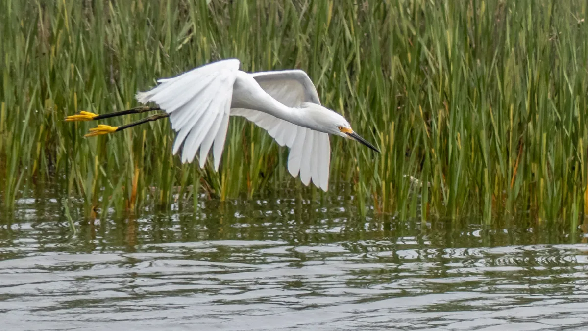
Mission Bay great egret photo © 2017 Craig Craddock, all rights reserved. Not intended for reproduction.

